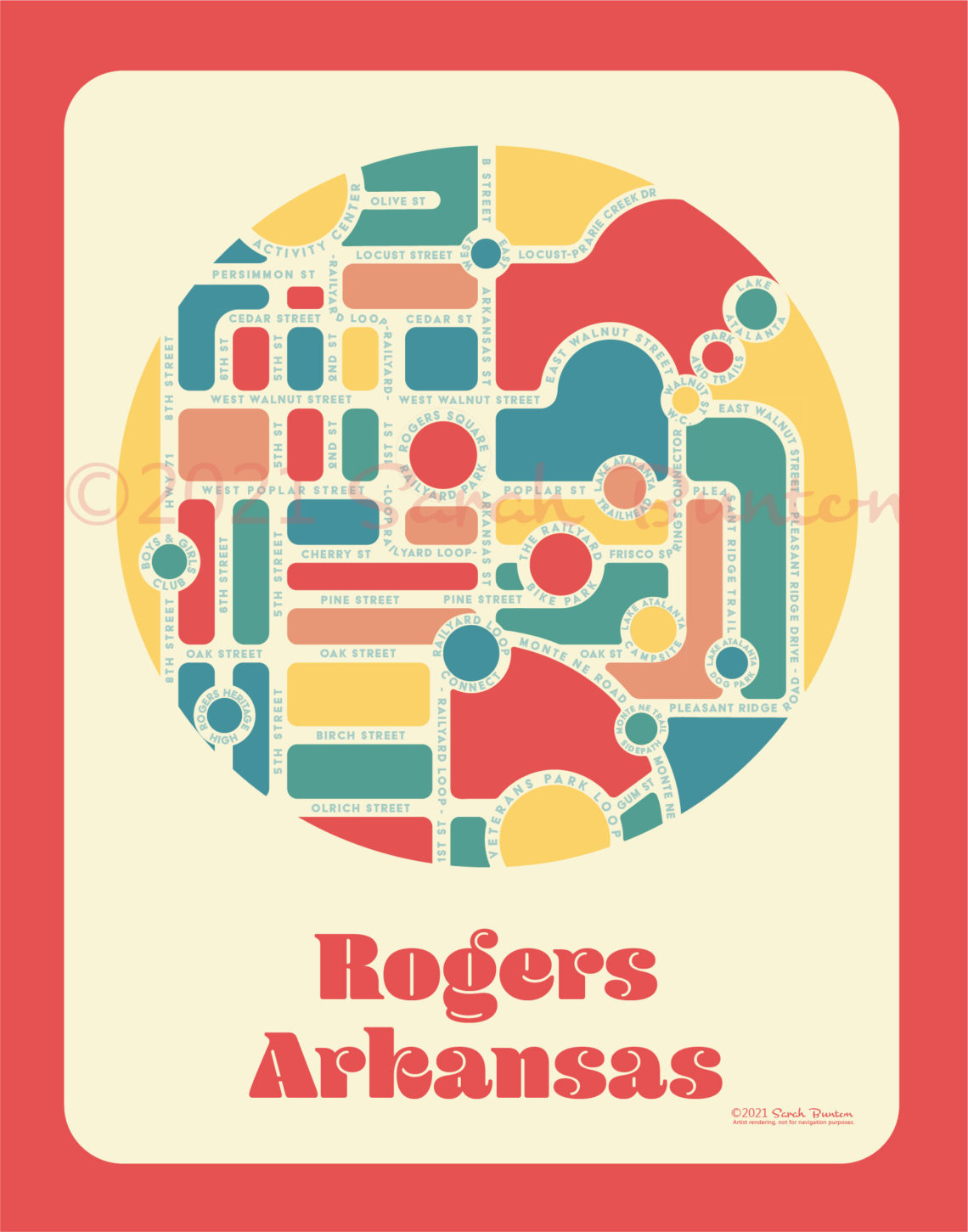
Downtown Rogers, Arkansas
Artist: Sarah Bunton — Arkansas Maps
In creating the Rogers, Arkansas map, I took the city’s complex maze of streets and bike trails, snapped their names to a grid, filled the negative spaces with colorful geometric shapes and highlighted community amenities with buttons. The result is a vibrant, simplified flow of the streets and trails connecting the downtown to Lake Atalanta. The purpose of this and all of my stylized maps is to orient those new to the city, encourage the use of cycling and pedestrian paths, and to further a sense of community identity among residents. Due to the rapid development of the “designer downtown” in Rogers, some of the locations are still in the construction phase and will be finished over the next 1-2 years. These maps may be viewed and purchased at Brick & Mortar and The Rogers Experimental House.